Ventana de diálogo
Underground utility mapping software

PointMan está disponible GRATIS en Google Play y Apple Store


Underground utility mapping software
970-242-4024 | Inicio de sesión PRO
PointMan
  • Características
  • Nuestra nube
  • Compatibilidad
    • GPS/GNSS
    • Localizadores
    • Dispositivos móviles
    • JAVAD
    • Leica
    • Trimble
  • Industrias
    • Construcción
    • Municipal
    • SUE
  • Precios
  • ProStar
  • Distribuidores
  • Ayuda
    • Universidad PointMan
    • Activar PointMan
    • Recursos técnicos
    • PREGUNTAS FRECUENTES
    • Vídeos/Blog
    • Tutoriales
    • Póngase en contacto con
    • Atención al cliente
Seleccionar página
Unlocking hidden value: How SUE mapping optimizes project efficiency

Unlocking hidden value: How SUE mapping optimizes project efficiency

por Matthew Breman | Jun 24, 2024 | Blog PointMan

The Subsurface Utility Engineering (SUE) industry is an important player in construction and infrastructure development projects. SUE professionals employ advanced technologies and methodologies to accurately map and locate underground utilities, ensuring that...
Preventing costly surprises: How PointMan’s precision utility mapping solution saves construction projects from utility strikes

Preventing costly surprises: How PointMan’s precision utility mapping solution saves construction projects from utility strikes

por Matthew Breman | Jun 21, 2024 | Blog PointMan

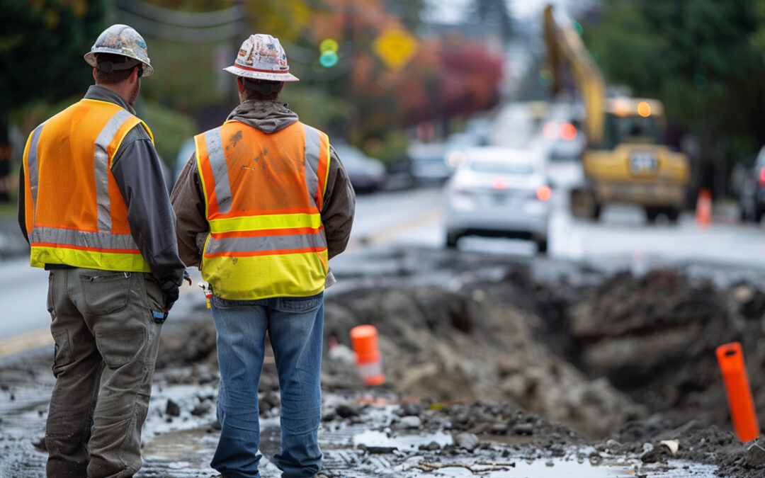
Utility strikes, also known as line strikes, occur when underground utilities such as gas lines, electrical cables, or water mains are accidentally damaged during construction activities. These strikes can have severe consequences, including project delays, financial...
Digging safely: Why excavation professionals need underground utilities mapping

Digging safely: Why excavation professionals need underground utilities mapping

por Garrett Koehler | 3 de junio de 2024 | Blog PointMan

Excavation professionals take on complex tasks like digging trenches, laying foundations, and constructing vital infrastructure. However, beneath the soil lies a maze of hidden utilities – water pipes, gas lines, electrical cables – posing unseen dangers...
What is a utility survey?

¿Qué es una encuesta de servicios públicos?

por Matthew Breman | 3 de junio de 2024 | Blog PointMan

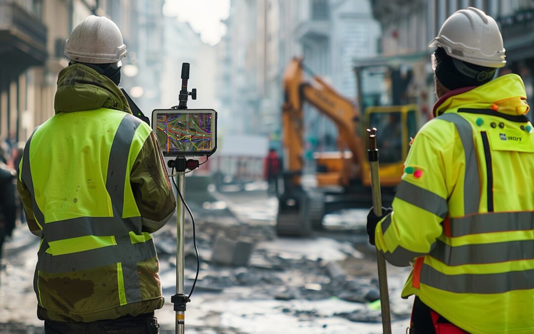
Utility surveying is a vital process in construction projects that involves locating and mapping underground utilities such as pipes, cables, and other infrastructure. These utilities, although hidden from view, play a crucial role in our daily lives, providing...
The role of utility mapping software in disaster preparedness and emergency response

The role of utility mapping software in disaster preparedness and emergency response

por Garrett Koehler | 3 de junio de 2024 | Blog PointMan

Disaster preparedness and emergency response are critical aspects of ensuring public safety and minimizing the impact of natural disasters and emergencies. When disasters strike, being prepared and having effective response strategies in place can save lives and...
Mitigating risks: How PointMan enhances safety in water utility projects

Mitigating risks: How PointMan enhances safety in water utility projects

por Matthew Breman | 3 de junio de 2024 | Blog PointMan

In construction and infrastructure development, what lies beneath our feet often holds the key to safety and success. Underground utility mapping – the process of accurately identifying and mapping below-ground infrastructure – has become a vital practice...
« Entradas más antiguas
Entradas siguientes »

Entradas recientes

  • RD8200SG - Guía de emparejamiento Bluetooth iOS con PointMan
  • Ventajas del software de cartografía de servicios públicos para el sector del petróleo y el gas: Aplicaciones para ingenieros de oleoductos y equipos de mantenimiento
  • Mejora de la visualización de los servicios públicos: Técnicas para comprender mejor los servicios subterráneos
  • Ventajas del acceso a datos de servicios públicos en tiempo real para topógrafos e ingenieros: Mejora de las decisiones in situ
  • Cómo proteger los servicios subterráneos durante la construcción

Comentarios recientes

    Actualizaciones

    Activar

    Cuadro de compatibilidad

    • Seguir
    • Seguir
    • Seguir

    Noticias

    Patentes

    Equipo

    Distribuidores

    Oferta RD

    Privacidad

    ProStar

    Carreras profesionales

    Póngase en contacto con

    Únase a nuestra lista de correo electrónico

    "*" indica los campos obligatorios

    Este campo tiene fines de validación y no debe modificarse.
    Nombre
    Este sitio está protegido por reCAPTCHA y por la política de privacidad de Google. Política de privacidad y Condiciones de uso aplicar.

    2026 ProStar Geocorp® | Todos los derechos reservados

    Spanish
    English Arabic French German (Austria) German (Formal) Hebrew Kazakh Swedish