par Matthew Breman | Fév 12, 2020 | Blog PointMan
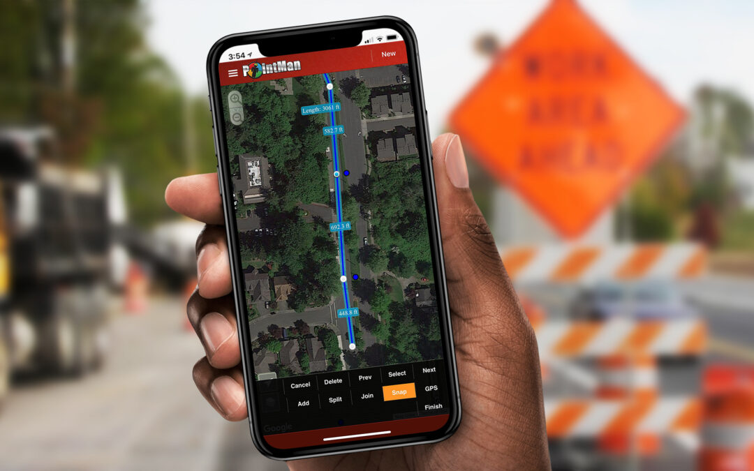
GIS data rarely lines up with the real-world location of a utility line. This type of issue is especially common in the construction industry. “Potholing” is a term commonly referred to as the process of verifying the location of buried utilities by hydro-vacuuming...
par Matthew Breman | Fév 7, 2020 | Non classé, Enterprise Updates
Summary The new PointMan Enterprise Dashboard & Layer Panel includes several feature improvements to allow for better organization, more dynamic quick search, and faster access to your geospatial data. New Dashboard Updates: Personal Settings Personal...
par Matthew Breman | Fév 6, 2020 | Non classé, Enterprise Updates
Happy New Year! In December, we proposed a new maintenance schedule for 2020 so that we can conduct maintenance on the platform without the down-time interfering with client operations. Maintenance and routine updates may cause visible changes or require certain...

par Matthew Breman | Oct 29, 2019 | Blog PointMan
Ground-breaking initiative by Colorado DOT for capturing and sharing location of underground utilities According to the Federal Highway Administration (FHWA) missing or inaccurate location information about underground utilities is a major source of highway...

par Matthew Breman | Sep 23, 2019 | Blog PointMan
ProStar delivers reliable, easy to use, One Call online ticket request application The impact of a US State One Call Center deploying an online ticket request application developed by ProStar was felt almost immediately. Within days of the initial deployment, home...

Commentaires récents