por Matthew Breman | Abr 26, 2022 | Sin categoría
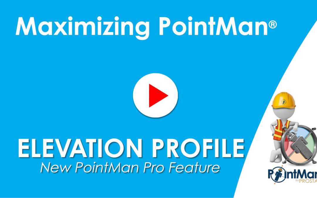
PointMan Pro’s Elevation Profile feature will display a graph on a line or polygon that shows the elevation and altitude of the vertices of that feature. More Videos RD8200SG – iOS Bluetooth pairing guide with PointMan How to upload data into PointMan Connecting...
por Matthew Breman | Abr 13, 2022 | Sin categoría
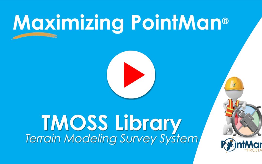
PointMan’s latest release incorporates a Terrain Modeling Survey System (TMOSS). TMOSS provides easy search, identification, classification, and styling translation of any CAD symbology library. Now any State Department of Transportation, engineering & surveying...

por Matthew Breman | Abr 4, 2022 | Sin categoría
The Measurement Tool is a feature that allows users to place a line or polygon on the map, and will display the length or the perimeter and area of the drawn polygon. More Videos RD8200SG – iOS Bluetooth pairing guide with PointMan How to upload data into PointMan...
por Matthew Breman | 30 de marzo de 2022 | PREGUNTAS FRECUENTES
Al activar esta función, la aplicación PointMan olvidará todas las credenciales de inicio de sesión y cualquier configuración realizada en la página Configuración de PointMan. Sus datos seguirán guardados y accesibles después de volver a crear su cuenta Local y/o volver a iniciar sesión en su cuenta Pro. Esto...
por Matthew Breman | 30 de marzo de 2022 | Sin categoría, Actualizaciones de PointMan
Implementado soporte para el receptor GNSS Trimble DA2, que está disponible para su uso en dispositivos Android e iOS Nota: El DA2 debe estar conectado a un banco de alimentación cuando esté en uso. Para emparejar, ponga el DA2 en modo de emparejamiento manteniendo pulsado el botón de encendido hasta que se...

Comentarios recientes