арқылы Мэттью Бреман | 26 сәуір, 2022 | Санатталмаған
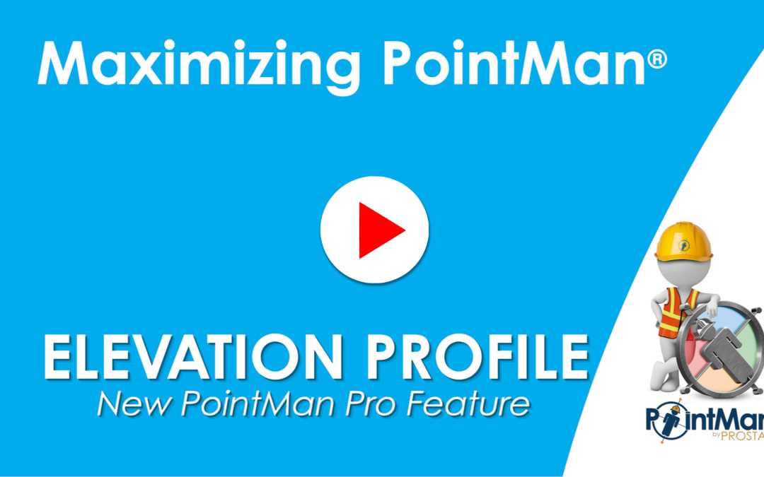
PointMan Pro’s Elevation Profile feature will display a graph on a line or polygon that shows the elevation and altitude of the vertices of that feature. More Videos RD8200SG – iOS Bluetooth pairing guide with PointMan How to upload data into PointMan Connecting...
арқылы Мэттью Бреман | Апр 13, 2022 | Санатталмаған
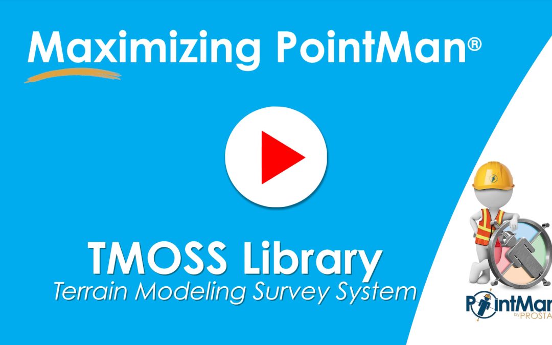
PointMan’s latest release incorporates a Terrain Modeling Survey System (TMOSS). TMOSS provides easy search, identification, classification, and styling translation of any CAD symbology library. Now any State Department of Transportation, engineering & surveying...

арқылы Мэттью Бреман | Апр 4, 2022 | Санатталмаған
The Measurement Tool is a feature that allows users to place a line or polygon on the map, and will display the length or the perimeter and area of the drawn polygon. More Videos RD8200SG – iOS Bluetooth pairing guide with PointMan How to upload data into PointMan...
арқылы Мэттью Бреман | 30 наурыз, 2022 | Жиі қойылатын сұрақтар
Бұл функцияны қосу PointMan қосымшасына барлық кіру деректерін және PointMan баптаулары бетінде жасалған кез келген баптауларды ұмытуға мәжбүр етеді. Сіздің деректеріңіз жергілікті есептік жазбаңызды қайта жасағаннан және/немесе Pro есептік жазбаңызға қайта кіргеннен кейін де сақталып, қолжетімді болады. Бұл...
арқылы Мэттью Бреман | 30 наурыз, 2022 | Санатталмаған, PointMan жаңартулары
Implemented support for the Trimble DA2 GNSS receiver, which is available for use on both Android and iOS devices Note: The DA2 must be connected to a power bank when in use. To pair, put the DA2 into pairing mode by holding down the power button until it is...

Свежие комментарии